Space debris mapping plays a critical role in monitoring the growing number of man-made objects orbiting the Earth, including defunct satellites, spent rocket stages, and fragments from collisions or disintegration. As space activities increase, the risk of collisions with this debris rises, threatening the safety and longevity of operational satellites and crewed missions. Effective mapping and tracking of space debris help space agencies, satellite operators, and policymakers make informed decisions to avoid collisions, plan safer launches, and develop strategies for debris mitigation. This article explores the technologies and approaches used in space debris mapping and highlights its importance for the sustainable use of outer space.
Understanding Space Debris and Its Growing Threat
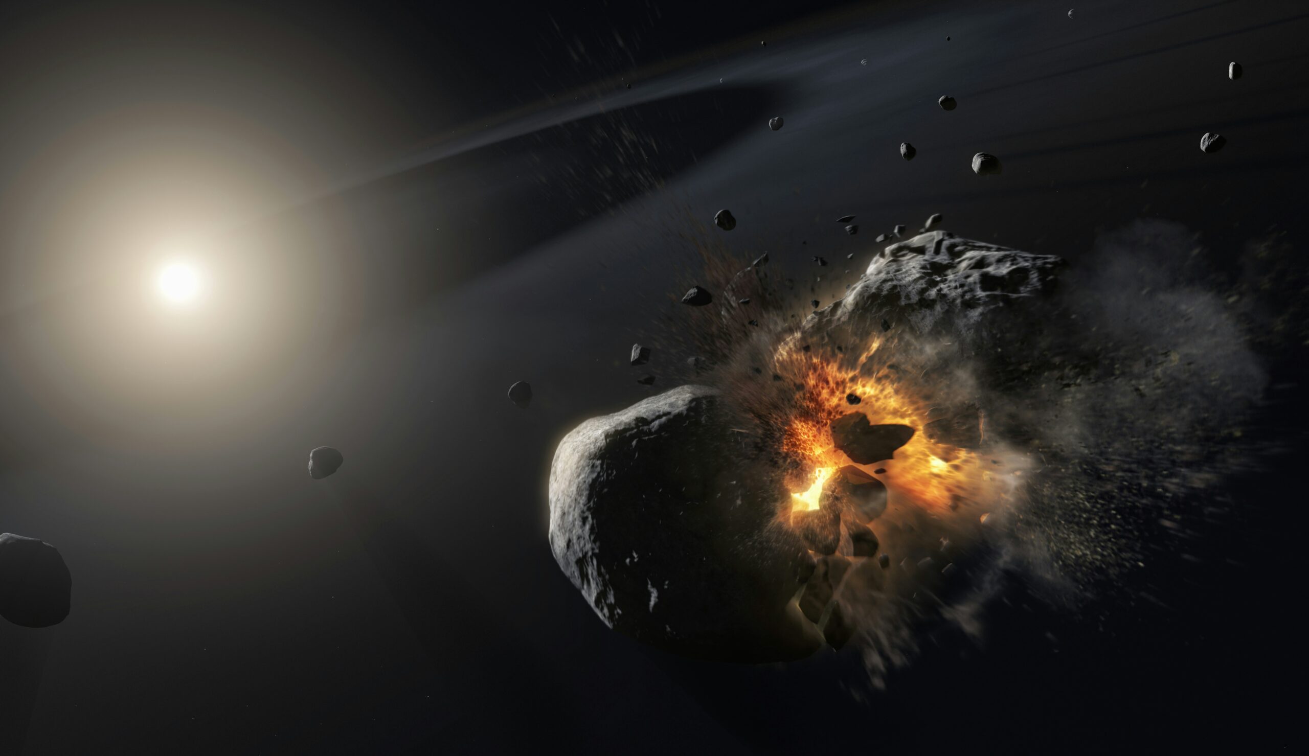
Space debris, often called space junk, refers to the large collection of defunct human-made objects orbiting Earth. These include inactive satellites that have reached the end of their operational life, spent rocket stages left behind after launches, and countless fragments produced by collisions, explosions, or deterioration of space equipment. While some debris pieces are relatively large, many are quite small yet still pose a significant threat.
This is because all debris travels at extremely high speeds, typically exceeding 28,000 kilometers per hour. At these velocities, even tiny fragments can collide with functioning satellites and spacecraft with immense force, causing damage or total destruction. As a result, space debris presents a growing challenge for space agencies and satellite operators who must constantly monitor and avoid these hazards to protect vital space infrastructure.
What Constitutes Space Debris?
The debris population can be categorized into several key types:
- Defunct Satellites: These are satellites that have completed their missions or suffered failures, yet remain adrift in orbit, no longer serving any functional role.
- Rocket Stages: Large sections of launch vehicles discarded after delivering payloads, lingering in orbit for years or even decades depending on their trajectory and altitude.
- Collision Fragments: When objects in orbit collide or explode, they fragment into thousands of smaller pieces, exponentially increasing the number of debris particles circling the planet.
- Microscopic Debris: Tiny particles such as paint chips, bolts, and insulation fragments, too small to be tracked reliably but still dangerous due to their incredible speeds.
The quantity of space debris has escalated sharply in recent decades. The surge in satellite deployments, including commercial constellations and increased government activity, contributes significantly to this cluttered environment. Current estimates indicate there are over half a million debris objects larger than a marble, alongside millions of smaller fragments, creating a congested and hazardous orbital landscape.
The Dangers of Orbital Debris
Space debris presents multiple risks that threaten the safety and sustainability of space operations:
- Harm to Operational Satellites: Even tiny debris traveling at orbital speeds can collide with satellites and cause catastrophic damage, impairing services such as communications, GPS navigation, weather forecasting, and defense operations vital to modern society.
- Threats to Crewed Spacecraft: Human missions, including the International Space Station (ISS), must constantly maneuver to avoid debris. Collisions, even with small objects, can jeopardize the safety of astronauts and the integrity of the spacecraft.
- Kessler Syndrome: Named after NASA scientist Donald Kessler, this scenario describes a cascading chain reaction in which debris collisions generate more fragments, exponentially increasing debris density and potentially rendering certain orbits unusable for future missions.
- Impacts on Future Exploration: As space agencies and private companies plan ambitious missions beyond Earth – such as lunar bases and Mars exploration—the crowded and dangerous orbital environment complicates launch logistics, increases mission costs, and raises the risk of mission failure.
Why Space Debris Mapping Matters
To mitigate these risks, comprehensive mapping and tracking of space debris are essential. This involves using radar, telescopes, and increasingly sophisticated sensors and software to monitor the position and trajectory of debris particles. Accurate space situational awareness enables satellite operators and space agencies to predict potential collisions and take evasive actions. Furthermore, debris mapping supports international efforts to develop strategies for debris removal and prevention, ensuring the long-term sustainability of Earth’s orbital environment.
How Space Debris Is Tracked: Technologies in Use
Monitoring space debris involves multiple observation methods that operate in distinct orbital environments. These technologies are grouped into three main categories – radar systems, optical systems, and space-based sensors – each with specific operational roles and technical constraints.
1. Radar Systems: Ground-Based Tracking for Low Orbits
Radar installations are the primary method for tracking larger debris in low Earth orbit (LEO), where object speed and density are highest. These ground-based systems transmit radio waves into space; when those waves reflect off orbiting debris, the system calculates the object’s position, velocity, and trajectory.
- Coverage Capabilities: U.S. systems like the Space Surveillance Network (SSN) can monitor objects as small as 10 cm. Assets include Cobra Dane and Over-the-Horizon radars.
- Advanced Installations: ESA’s Space Fence uses phased-array radar to scan large orbital volumes, allowing simultaneous tracking of tens of thousands of debris fragments.
- Operational Limits: Radar performance declines at higher altitudes like geostationary orbit (GEO), and it struggles with small, non-metallic objects.
2. Optical Systems: Visual Tracking in High Orbits
Optical observation plays a complementary role to radar, particularly useful in detecting debris in higher orbits such as GEO. These systems rely on capturing sunlight reflected from debris and are most effective for large, bright objects.
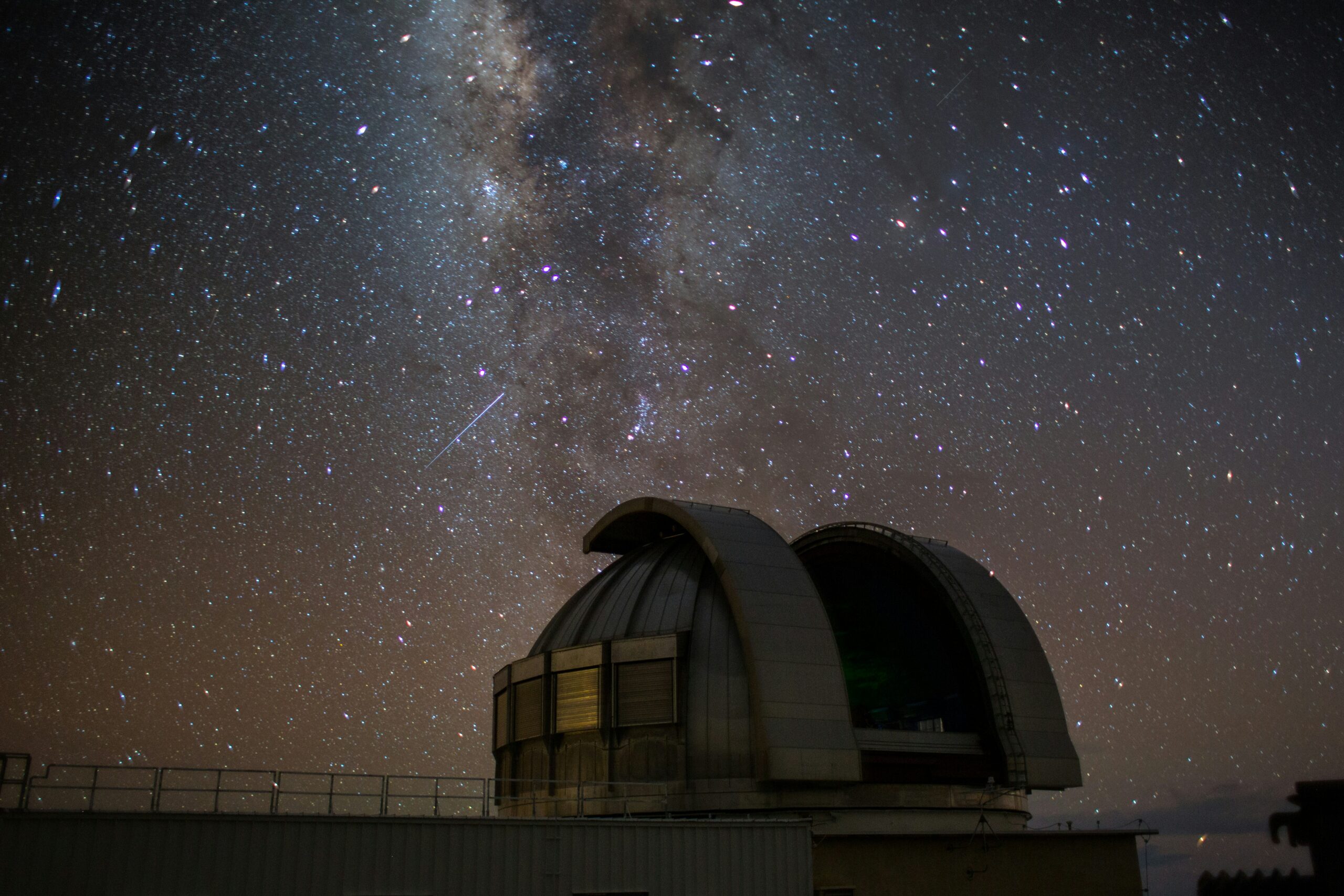
- Ground-Based Telescopes: Systems like the Michigan Orbital DEbris Survey Telescope (MODEST) and other optical systems track reflective objects larger than 1 meter. Their effectiveness depends on clear skies and nighttime operation.
- Orbital Telescopes: Telescopes such as ESA’s Flyeye are used to track debris and near-Earth objects, though they are limited by atmospheric and daylight conditions. These provide broader coverage and continuous observation of debris in high-altitude zones.
- Constraints: Optical systems cannot detect objects that don’t reflect sunlight effectively, and they are inoperative under poor lighting or weather conditions on Earth.
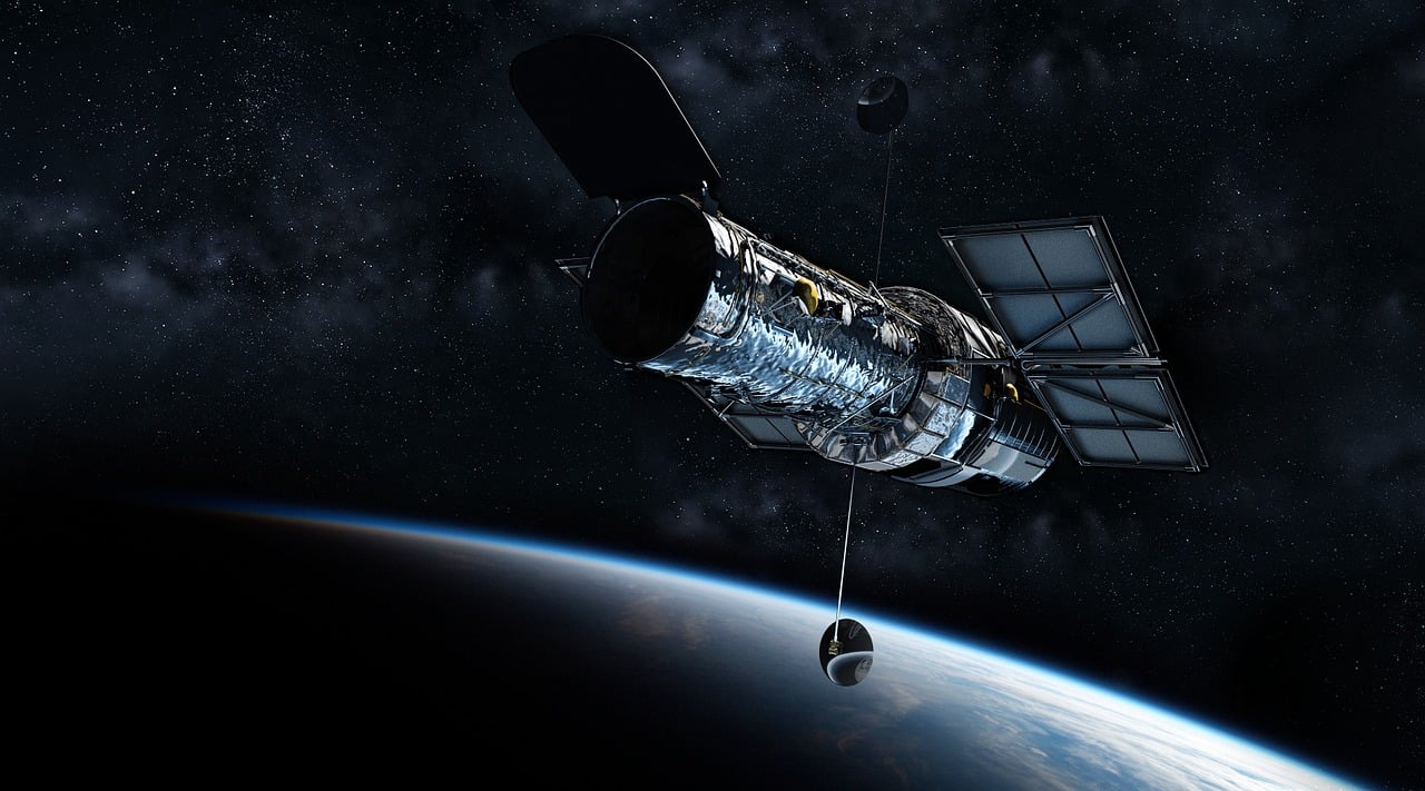
3. Space-Based Sensors: Direct Observation from Orbit
Space-based sensors provide coverage where ground-based systems are limited. Placed directly in orbit, these instruments can observe debris from close range and across the full range of orbital altitudes.
- Infrared Detection: Satellites equipped with thermal imaging – like those in NASA’s Earth Observing System – detect debris based on heat signatures rather than reflected light. This is useful for tracking both reflective and non-reflective debris.
- Laser Ranging: Precision laser systems, such as ESA’s laser tracking network, emit pulses toward orbital debris and measure the return time to calculate exact distance and motion vectors.
- Deployment Challenges: These instruments offer high accuracy but come with increased cost, limited operational life, and the need for dedicated orbital platforms.
4. Integrated Operation: Layered Tracking for Comprehensive Coverage
Each technology – radar, optical, or onboard sensor – has unique strengths and operational domains. Used together, they create a layered detection architecture:
- Radar handles dense traffic in LEO
- Optical systems extend surveillance into GEO
- Space-based sensors fill observation gaps and enable direct monitoring
By combining data across platforms, space agencies maintain an updated and expanding catalog of orbital objects. This integration supports collision avoidance, orbital planning, and response to fragmentation events.
Why Mapping Space Debris Is Essential for the Future of Space Operations
Space debris is no longer a theoretical concern. It is a growing, measurable threat to satellites, spacecraft, and the infrastructure that supports modern life on Earth. The process of mapping this debris – identifying, tracking, and predicting the movement of objects in orbit – is now a foundational element of space safety and mission planning.
A Changing Orbital Environment
Earth’s orbital zones, once mostly empty, are increasingly crowded. Thousands of satellites now operate in low and geostationary orbits, and every launch adds more material to the environment. When satellites fail, collide, or are decommissioned without proper disposal, they often leave behind hazardous fragments that can remain in orbit for years or decades. These fragments, some no larger than a screw, can cause significant damage due to their high velocities.
Mapping space debris is the only way to monitor these objects effectively. Without it, operators would be navigating blind in a dangerous environment.
From Detection to Action: The Role of Mapping
Accurate mapping systems make it possible to predict the future positions of debris and determine the likelihood of close approaches or impacts. When a potential collision is identified, satellite operators can decide whether to alter the spacecraft’s path. These avoidance maneuvers are resource-intensive and time-sensitive – making the precision of tracking data critically important.
Mapping also supports long-term planning. New satellites are launched with the knowledge of existing debris patterns, and space missions can be designed to avoid known problem areas. This spatial awareness allows agencies to implement safer orbital paths and reduce the risk of contributing to the debris problem themselves.
Preserving Orbital Access
As the volume of debris increases, so does the risk of a cascading event – where a single collision produces debris that triggers additional impacts. This scenario, known as Kessler Syndrome, could render parts of Earth’s orbit unusable. Mapping efforts provide the data needed to assess this risk and develop preventive strategies. These might include passivation of retired spacecraft, improved design standards, or even active removal missions targeting the most dangerous debris.
A Global Responsibility
Space debris affects all spacefaring nations equally, and effective mapping depends on open data exchange. Many of the world’s space agencies already contribute to shared tracking databases, combining radar, optical, and sensor data to improve coverage and accuracy. By coordinating efforts, countries can improve early warnings, reduce redundant tracking systems, and promote safer practices in orbit.
Mapping debris is not a passive observation effort – it is a form of risk management, and increasingly, a requirement for responsible participation in space.
Urgency in an Era of Expansion
With satellite megaconstellations expanding and lunar missions on the horizon, the number of objects in orbit will grow rapidly in the coming years. If space is to remain accessible, navigable, and safe, comprehensive mapping systems must keep pace. Investments in debris monitoring are not optional – they are necessary infrastructure for the next era of space activity.

FlyPix: Advancing the Mapping of Space Debris through AI
FlyPix is a sophisticated platform that leverages artificial intelligence to improve how space debris is monitored and analyzed. With support for a range of geospatial inputs such as satellite images and radar data, FlyPix streamlines the identification and classification of orbital debris, offering users fast and accurate results. The system is built to simplify a traditionally complex process, helping organizations better understand and manage Earth’s orbital environment.
Engineered to function effectively even in heavily congested orbital zones, FlyPix enables users to locate and define debris in real time. The platform serves diverse stakeholders, including satellite operators, space research bodies, private aerospace firms, and government agencies. Importantly, FlyPix includes tools that allow users to train AI models specific to their objectives, eliminating the need for advanced coding knowledge.
Core Capabilities of the FlyPix Platform
- AI-Based Debris Recognition: FlyPix automatically detects objects in orbit, from minuscule fragments to full satellite components, enhancing the accuracy of debris tracking.
Interactive Data Mapping: An embedded visualization interface lets users inspect individual debris items on a map and access related object information through AI-enhanced exploration. - Tailored AI Training: Without technical barriers, users can develop models that target debris based on defined traits such as size, motion, or shape.
- Faster Turnaround: The AI reduces time spent on manual debris analysis. What previously required extensive review can now be accomplished in seconds.
- Compatibility with Multiple Data Types: FlyPix integrates smoothly with datasets from radar, satellite, or sensor-based systems, ensuring compatibility with common formats used in orbital surveillance.
Industries Using FlyPix for Space Debris Applications
FlyPix supports a variety of space-focused sectors that rely on detailed debris analysis to guide operations:
- Government Space Programs: Improve tracking capabilities and predict potential collisions through precise monitoring tools.
- Commercial Satellite Operators: Use FlyPix to identify nearby debris and adjust satellite paths accordingly to prevent impact.
- Aerospace Companies: Support launch planning, on-orbit servicing, and removal missions with granular debris data.
- Scientific Institutions: Analyze orbital clutter for academic research and sustainability planning in near-Earth environments.
- Policy and Legal Bodies: Apply accurate orbital data to develop and revise space traffic rules, licensing, and mitigation frameworks.
FlyPix offers a comprehensive solution for evolving needs in orbital management. With AI-driven insights and user-focused design, it contributes to safer and more sustainable operations in space, redefining how the industry approaches debris tracking and risk assessment.
How Artificial Intelligence Is Reshaping Space Debris Monitoring
The rapid increase in satellites, spacecraft, and orbital activity has led to growing concerns about space debris. Defunct satellites, spent rocket stages, and fragments from past collisions now populate all major orbital regions. Monitoring these objects accurately is essential for preventing collisions and managing operational risk. Artificial intelligence is playing an increasingly central role in improving how space debris is detected, tracked, and addressed.
Improving Detection and Object Recognition
Traditional monitoring systems rely on ground-based radar and optical telescopes. While they are effective to an extent, they face limitations in spatial coverage, data processing speed, and resolution. AI addresses these gaps by analyzing large volumes of data from radar networks, satellite imagery, and sensor feeds more efficiently. Machine learning models can detect smaller debris fragments, differentiate between debris and non-debris objects, and reduce false positives. Over time, these models refine their accuracy as they are exposed to more labeled data and real-world tracking scenarios.
Enhancing Tracking and Collision Forecasting
Once debris is detected, continuous tracking is required to predict potential risks. AI models are used to simulate object trajectories, forecast orbital changes, and identify intersections with operational satellites. In many systems, AI now supports automated decision-making for collision avoidance. It can evaluate threat scenarios, generate maneuver options, and in some cases, directly trigger satellite repositioning commands. This is especially valuable in managing satellite constellations, where manual tracking is no longer practical.
Supporting Autonomous Debris Removal
AI is also being integrated into active debris removal technologies. Systems using robotic arms, nets, or tethers depend on real-time object tracking and dynamic response. AI enables these systems to detect target debris, calculate safe approach paths, and adjust in response to unexpected motion. The use of onboard AI allows for autonomy during complex capture operations, reducing reliance on ground-based instructions and communication delays.
Advancing Space Situational Awareness
Space situational awareness requires more than detection and tracking. It involves creating a full picture of the orbital environment, understanding traffic flows, and identifying risk areas. AI contributes by combining data from multiple sources – ground sensors, orbital instruments, and external tracking networks – into integrated orbital maps. These systems can highlight anomalies, model debris behavior over time, and assist mission planners in evaluating future risks. The result is a more complete and up-to-date understanding of orbital activity.
Ensuring Data Integrity and System Security
As AI systems become more embedded in orbital monitoring infrastructure, protecting the data they use and produce becomes essential. Debris tracking often involves sensitive satellite location data and mission-specific parameters. To address this, modern AI platforms include built-in security features such as encryption, anomaly detection, and access control. These safeguards help prevent tampering, maintain data reliability, and ensure continuity in system performance.
Conclusion
Mapping space debris is essential for ensuring safe and predictable satellite operations. It supports day-to-day collision avoidance, long-term mission planning, and broader space traffic coordination. As orbital congestion increases, debris mapping systems must become more precise, more responsive, and more interoperable.
The future of debris monitoring depends on better integration of tracking technologies, more consistent data-sharing across agencies and companies, and broader adoption of automated tools, including AI. While mapping alone cannot solve the debris problem, it provides the necessary foundation for risk reduction, policy enforcement, and future removal efforts.
FAQ
1. Who manages space debris tracking today?
Organizations like the U.S. Space Surveillance Network, ESA, and several national space agencies operate tracking systems. Some private companies also provide independent monitoring services.
2. What tools are used to detect space debris?
Radar is used for low Earth orbit. Optical telescopes are used for higher orbits. Some satellites carry onboard sensors that provide additional data.
3. Can small debris be tracked?
Debris smaller than 10 cm is difficult to track consistently. Research is ongoing to improve detection of smaller objects using higher-resolution sensors and AI.
4. How often is tracking data updated?
Large objects in low orbits are typically tracked several times per day. Some high-traffic areas are monitored nearly continuously.
5. What happens if a collision is predicted?
Satellite operators receive alerts and may adjust orbits to avoid impact. These decisions depend on risk thresholds and available maneuvering capacity.
6. Is space debris removal active today?
Only experimental missions have removed debris so far. Most efforts focus on avoidance and post-mission disposal planning.