GeoAI by AI Superior
Explore the future of geospatial analysis with our advanced GeoAI services. Discover how artificial intelligence enhances GIS, providing powerful insights for urban planning, environmental monitoring, and more.
What Our Customers Say
Our Awards and Recognition
We are honoured to receive industry accolades for our unwavering dedication to delivering exceptional AI services and software solutions.


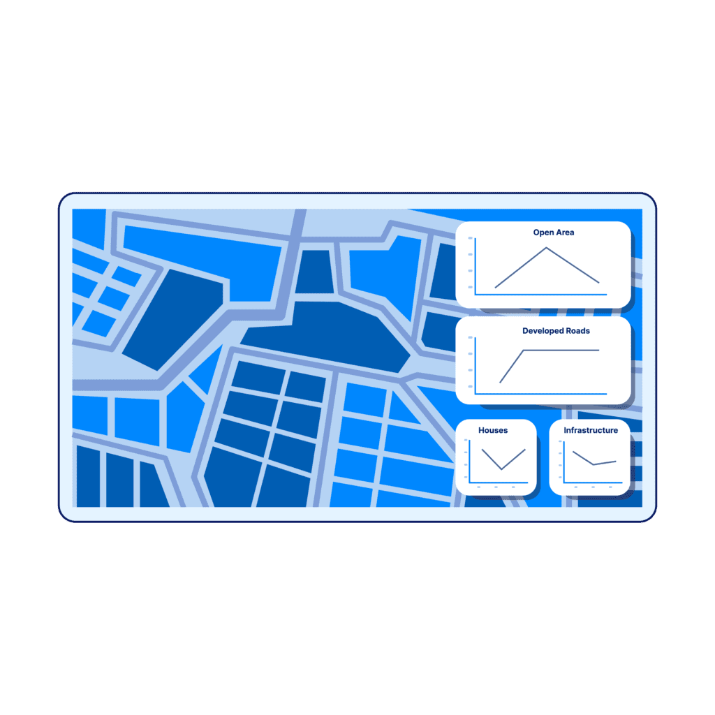
What is GeoAI
GeoAI can be best understood as a combination of artificial intelligence techniques, geography and earth science. It involves using machine learning/deep learning, data science, and high-performance computing to analyze spatial imagery and data and derive meaningful insights from it. It can also help automate the decision-making process, make predictions, and extract useful knowledge from spatial big data.
Information about different geographic features and locations received from GPS, LIDAR, or GIS data, satellite imagery, and aerial photography is combined with the latest AI techniques to derive valuable insights from it. This allows researchers and organizations to make well-informed decisions in different areas, including disaster management, urban planning, transportation, etc.

Get valuable insights
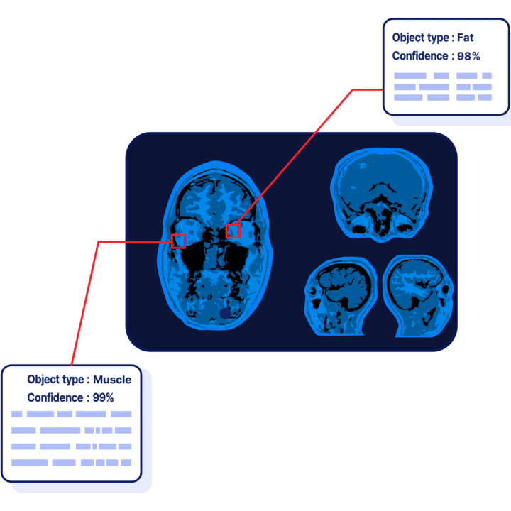
GeoAI involves using the latest deep learning techniques to automatically detect, extract, and classify useful information from different data sources, such as text, images, and videos.
Make better decisions
Machine learning is an integral part of GeoAI and helps detect patterns, build more accurate models, identify spatial clusters, and predict outcomes using spatial algorithms.
GeoAI- the Next Wave of GIS Technology
Improved predictive modeling and forecasting
Using machine learning algorithms with GIS data makes predictive modeling possible, which allows for more accurate forecasting when it comes to urban and environmental planning.
Enhanced data processing
GeoAI streamlines and greatly improves how large-scale geospatial datasets, like sensor data and satellite imagery, are processed. This significantly enhances how GIS handles and analyzes large data sets.
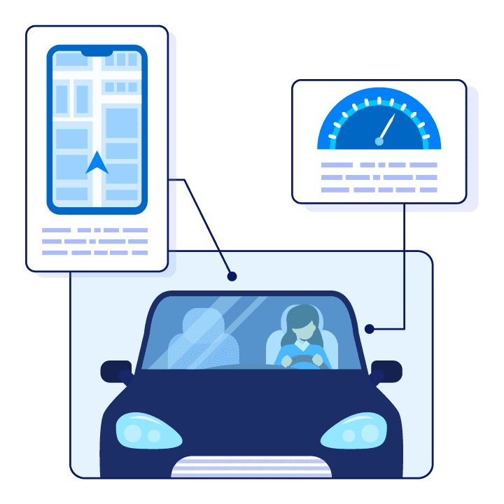
Real-time data analysis
Geospatial AI can process and interpret geospatial data in real-time. This is quite useful for critical and time-sensitive situations where making the right decision is crucial, such as traffic management and disaster response.
Increased user-friendliness
When combined with AI, GIS becomes more user-friendly and accessible, allowing more people to benefit from spatial analysis without going through extensive training. This makes it possible to use GIS for even more applications in various industries.
Our GeoAI Related Capabilities
Advanced spatial data
analysis
Predictive modeling and
forecasting
Real-time data
processing
GIS and AI
integrations
Remote sensing
analysis
Data visualization and
mapping
Machine learning and deep
learning integration
Custom GeoAI solutions development

GeoAI applications by Industry
Why partner with AI Superior for exceptional GeoAI solutions
Expertise in Cutting-Edge AI Technology
Customized GeoAI Solutions
Robust Data Analysis Capabilities

Commitment to Quality and Precision

Proven Track Record of Success

Stages of GeoAI project that ensure its success
Before starting your project, we discuss it in detail to understand your problems and challenges. This gives us a clear idea of your requirements, allowing us to design a custom geoAI solution that really solves your problems.
Once we have all your requirements, we make a detailed plan. We outline key milestones, list the project's scope and objectives, and make a project roadmap. This serves as the blueprint for the entire project, helping us stay on track.
This stage is where the magic happens. Based on the requirements outlined earlier, we use cutting-edge technology to design, develop, and implement a geoAI solution that meets your needs.
Once we develop and implement all the features, we thoroughly test the geoAI solution to make sure there are no errors. We ensure its reliability and functionality, and train it on your data to make sure it gives you accurate results.
Once we fix potential problems and work out all the kinks in your geoAI app, we deploy it to your environment. We continuously monitor it to make sure it works smoothly and make adjustments where needed. We also provide ongoing support to ensure the developed geoAI solution continues to evolve as your business grows.
Our success stories

The AI Superior team developed a web application that allows users to communicate with a Custom LLM through a chatbot interface. This innovation empowers organizations to establish private, hosted

How does GeoAI differ from GIS?
What types of data does geospatial artificial intelligence use?
How can businesses benefit from GeoAI?
Is GeoAI reliable for business decision-making?
What is the cost structure for implementing GeoAI services?
- +49 6151 7076909
- [email protected]
- Robert-Bosch-Str.7, 64293 Darmstadt, Germany