The challenge
High-quality hyperspectral satellite imagery offers a new way of observing and monitoring the Earth. But detecting objects that are small relative to the distance from which they are captured is a non-trivial task for deep learning.
Monitoring areas of thousands of kilometres by eye is hardly achievable. Some substances, such as methane leaks or oil spills, may also be invisible to the human eye, which is sensitive only to the red, green and blue channels of the visible spectrum.
Our solution
As part of our social responsibility activities, we developed a deep learning solution that uses all channels provided by hyperspectral imagery. It is based on an award-winning approach recognised by the IEEE society.
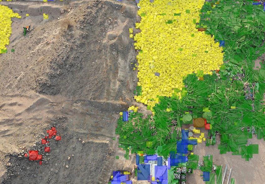
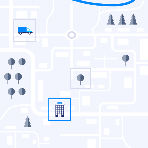
The model recognises objects at very low resolution, down to 10 x 8 pixels, and detects residential and commercial buildings, cars, trains, trees, roads, highways and railways, as well as coastal and sea debris, oil spills and other results of human activity.
The outcome
The technology can be applied in ecology control and pollution monitoring (coastal and marine plastic debris, oil spills, methane leak detection and severity analysis) and by building control authorities (unauthorised building, construction site monitoring, illegal tree removal).
Further applications include monitoring the quality of roads and railways, detecting sand or snow cover on roads, monitoring car parks, and analysing human activity on oil fields, in industrial zones and in logistics.