
Vast data volumes handled
Algorithms process the stream of data received by ground stations in a detailed and efficient way, instead of relying on manual review.
Industries · Space and Earth observation
Earth observation satellites produce vast amounts of data that ground stations must collect and analyse quickly. We build deep learning systems that process satellite and hyperspectral imagery in detail, for civil uses such as environmental monitoring, urban analysis and infrastructure inspection.

















Data from orbit is only useful when it can be processed quickly and accurately. That is where AI comes in.
Algorithms process the stream of data received by ground stations in a detailed and efficient way, instead of relying on manual review.
Deep learning uses all channels of hyperspectral imagery, so it can detect substances such as oil spills or methane leaks that are invisible in red, green and blue.
AI can support monitoring systems for satellites, helping operators keep track of spacecraft condition.
Civil applications of AI on satellite and remote sensing data.
Deep learning that recognises objects as small as 10 x 8 pixels, such as buildings, cars, trains, roads, highways and railways.
Detection of coastal and marine plastic debris, oil spills and methane leaks, with severity analysis.
Studies of the heat produced in urban areas based on satellite data.
Combining meteorological data with satellite images to estimate wind properties.
Road and railway condition, coverage by sand or snow, parking areas, construction sites and unauthorised building.
Monitoring systems built for the satellites themselves.
Long-term analysis of vegetation indices such as NDVI to track land degradation and regeneration.
Not sure which of these you need? Describe the problem and we will recommend the approach.
Discuss your project
10 x 8 pxsmallest object size recognised
An environmental monitoring solution, developed as part of our social responsibility programme, that detects small objects in hyperspectral satellite imagery with very high accuracy.
Read the case study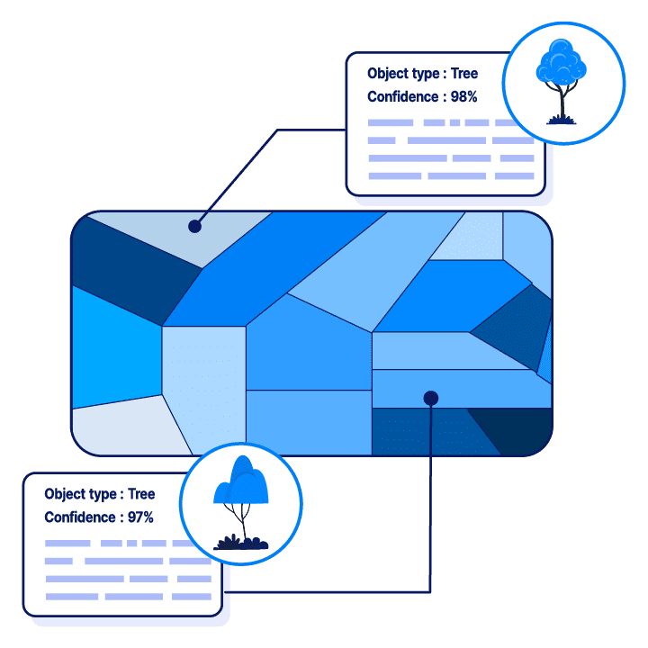
74% accuracy predicting conflict occurrence 6 months ahead
Data science research with the humanitarian NGO World Vision, analysing satellite vegetation data (NDVI) and historical conflict records to study how land degradation relates to conflict prevalence.
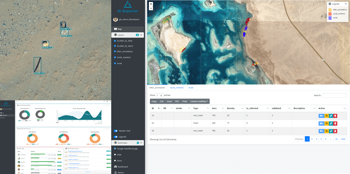
25x faster litter detection, with overall costs halved
A computer vision system that detects litter in drone images across roughly one thousand square kilometres of coastline, with a GIS application for planning and tracking collection.
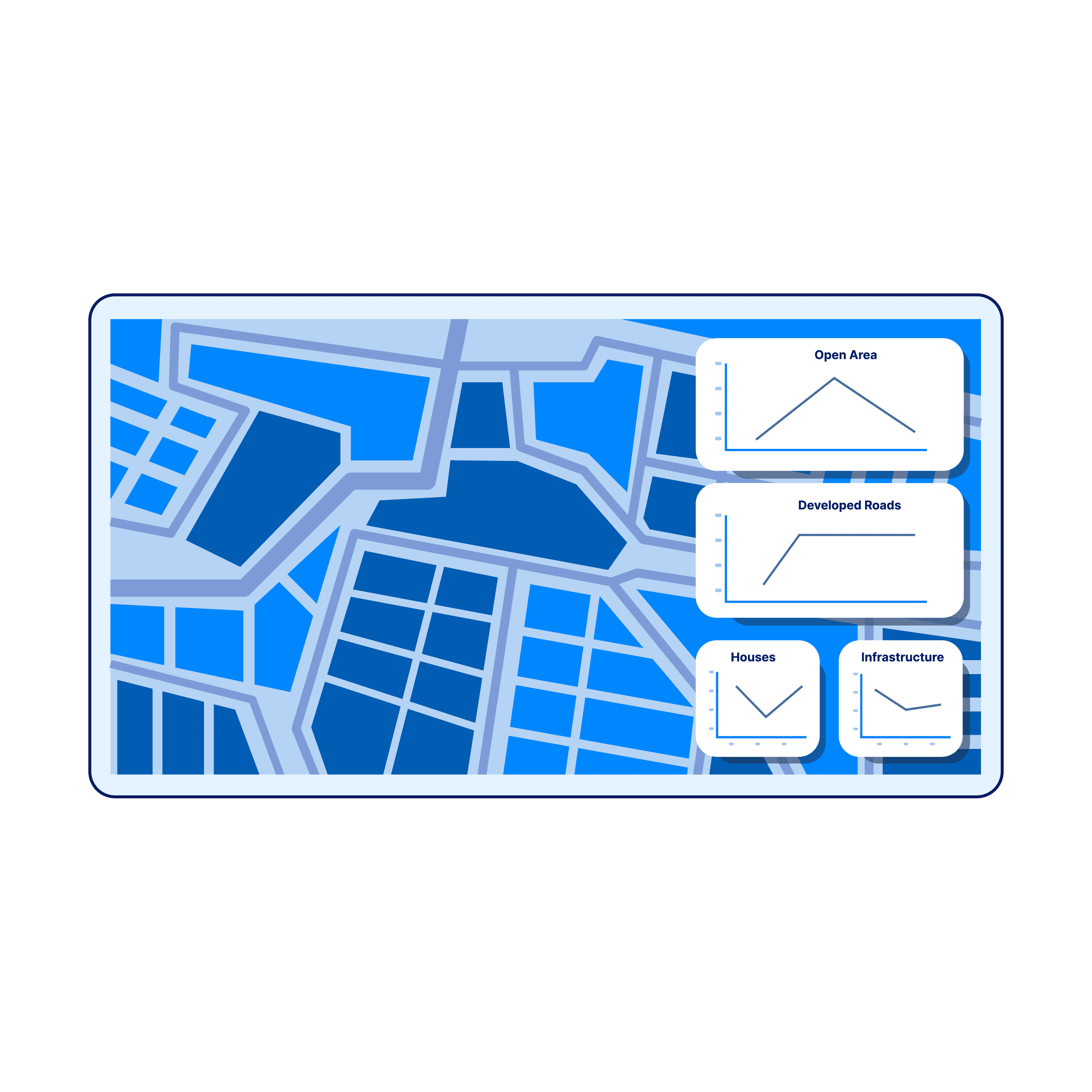
5 classes of land use mapped pixel by pixel
A deep learning system that segments city maps, compares them with historical maps and tracks open land over time to support price assessment of urban zones.
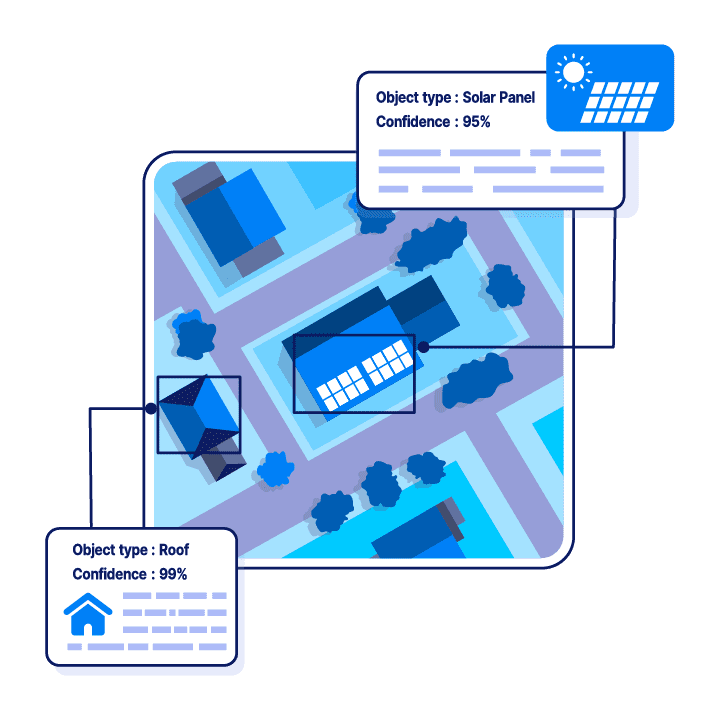
Automated roof detection and roof plane segmentation
Deep learning models that detect residential roofs in satellite images, segment them into distinct planes and estimate the area and dimensions of each, so solar panel installations can be planned efficiently.
Many vendors can build a demo. Making AI work reliably on real data, inside real business processes, is the hard part, and it needs a different kind of team.
AI Superior was founded in 2019 by AI researchers with published papers and patents, and the whole team works to that research standard.
Every project is de-risked in stages, with a go/no-go decision at each milestone, so budget only goes into approaches that have worked on your data.
Strategy, models and software are designed by one team, so nothing gets lost in hand-overs between vendors.
When data must not leave your organisation, we build on private, self-hosted models instead of third-party AI services.
Your project is led by senior data scientists and engineers with research backgrounds, supported by our product and development teams.
 Dr. Ivan Tankoyeu CEO
 PhD in Computer Science. Recognised by the IEEE GRSS Society, winner of the Global AI Hackathon 2017, Kaggle TOP500 data scientist (2014).
 Dr. Sergey Sukhanov Advisor
 PhD in Machine Learning, data scientist since 2013. Publications, patents and 30+ implemented AI use cases; several IEEE awards.
“AI Superior responded to all of our needs very carefully and considered them in the project.”
Built AI models and a dashboard for a pilot program that detects waste in drone imagery.
“They successfully fulfilled every component of the project and exceeded our expectations.”
Built an AI model that analyzes the roofs of residential and commercial properties, including data collection and labeling. All key deliverables were completed on time.
“They delivered an extra module that we were not expecting but turned out to be very useful.”
Research and custom software development applying generative adversarial networks for a pharmaceutical company with 5,000+ employees.
Every stage ends with a result you can check, and you decide on the next one only after seeing the previous one work. You keep control of scope and budget.
We work through the business problem with your team and define the direction of the solution.
You get: Scope, approach and a high-level estimate of effort and expected results
We get to know your team and data and check whether AI is the right tool for this problem.
You get: A data assessment and a clear feasibility verdict before any build starts
We start small, using the data already available, to test the solution in practice.
You get: Measured results on your own data and a basis for the investment decision
We integrate the solution into your existing systems, fine-tune the models and adjust them where needed.
You get: A solution running inside your processes, compatible with your data and systems
We review the results with you and make sure they are read correctly.
You get: What the solution delivered and where to improve next
Recognised by international business awards and by independent B2B platforms that rank companies on verified client reviews.
 Top Artificial Intelligence Company Germany 2026 · Clutch
  Top Machine Learning Company Germany 2026 · Clutch
  Top Computer Vision Company Germany 2026 · Clutch
  Top Generative AI Company Germany 2026 · Clutch
  Go Global Awards Winner 2021 · International Trade Council
  Best Data Science & AI Service Provider, Europe 2021 · German Business Awards
  Top Artificial Intelligence Company 2023 · Clutch
  Top Machine Learning Company 2023 · Clutch
  Clutch Champion Fall 2023 · Clutch
  Clutch Global Fall 2023 · Clutch
  Top BI & Big Data Company Germany 2023 · Clutch
  Top IT Services Company Germany 2023 · Clutch
  Top Artificial Intelligence Companies 2023 · TrueFirms
  Top Machine Learning Companies 2021 · Techreviewer
  Most Reviewed IT Services Companies Germany · The Manifest
 Our deep learning approach detects residential and commercial buildings, cars, trains, roads, highways and railways, as well as coastal and marine debris and oil spills. It works on very small objects, down to around 10 x 8 pixels.
The human eye only sees red, green and blue. Hyperspectral imagery has many more channels, and models that use all of them can detect substances such as methane leaks or oil spills that are otherwise invisible.
It is based on an award-winning solution recognised by the IEEE society. We applied it in an environmental monitoring project run as part of our social responsibility programme.
Environmental and pollution control, building control authorities, road and railway operators, urban development, logistics, real estate and finance can all use object detection from satellite imagery.
Yes. Meteorological data can be coupled with satellite images to estimate wind properties, and long-term vegetation indices such as NDVI can be combined with other records to find correlations and build predictive models.
Share a few details and our AI team will take it from there. Here is what happens next: