The challenge
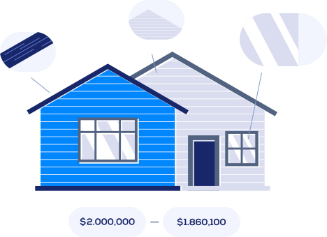
Accurately assessing the price of different zones within a city is essential for real estate professionals, but it has traditionally been difficult and time-consuming.
A leading real estate online platform needed a solution that would support the value assessment of urban zones and give industry professionals more accurate insights.
Our solution
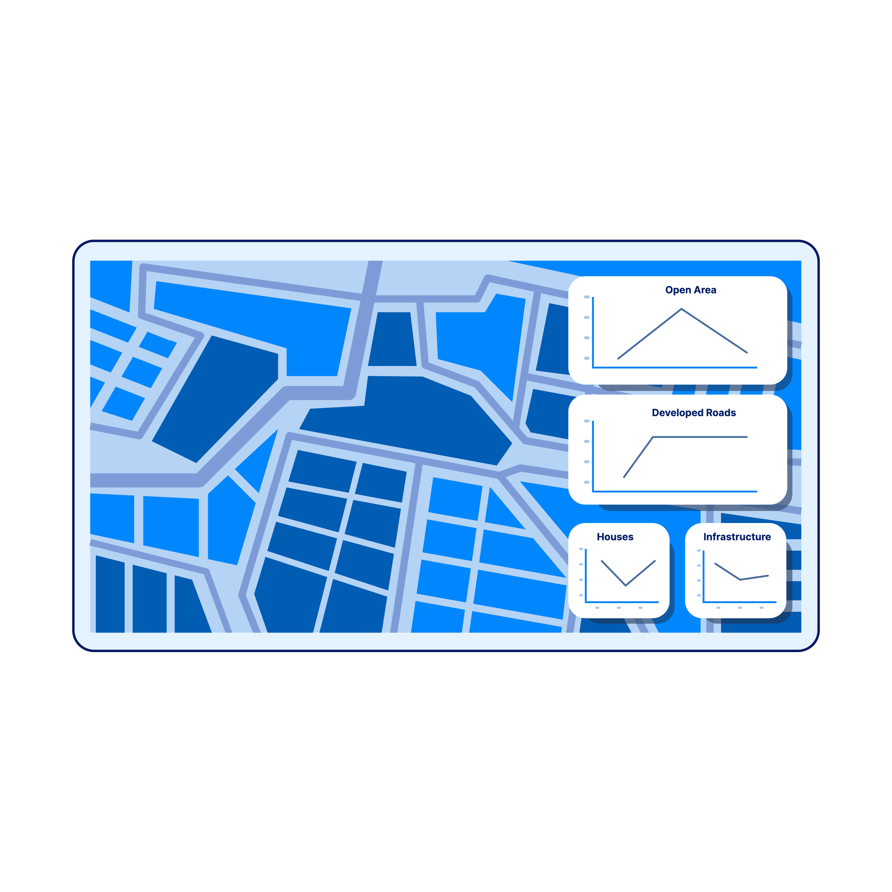
We used a semantic segmentation approach to analyse the map of a city, producing a dense segmentation map in which every pixel is assigned to one of five predefined classes. This gives a detailed picture of the city’s layout and composition.
To understand how the city had evolved, we added historical maps from different years and compared them, extracting statistics on the city’s development. The analysis focused on how the availability of open land for potential real estate development changed over time, a key signal for the value and desirability of specific areas.
- Roads, including paved roads, highways and byroads
- Residential houses, from small houses to multistorey buildings
- Infrastructure, including commercial areas and ongoing development or construction
- Green areas with trees
- Open land available for potential real estate development
The outcome
The system gave the real estate company data and insights for more efficient price assessments. By seeing and understanding the composition of different zones, the company could apply its own expertise and market knowledge to set appropriate price evaluations.
As a result, the platform was able to offer improved services to its users.