Blog
Claude vs GPT vs DeepSeek: Complete 2026 AI Comparison
The AI landscape has shifted dramatically. Three major players now compete for developer attention: Anthropic’s Claude, OpenAI’s GPT series, and the disruptive newcomer DeepSeek. But
The AI landscape has shifted dramatically. Three major players now compete for developer attention: Anthropic’s Claude, OpenAI’s GPT series, and the disruptive newcomer DeepSeek. But
Look, I get it. You’ve seen OpenClaw trending everywhere and you’re intrigued by the idea of a 24/7 AI assistant that can actually do things
Every few months, a new AI tool shows up claiming to change how we work. Most of them feel like small upgrades to something we

Most AI tools still live inside a chat window. You ask something, you get an answer, and the interaction ends there. OpenClaw works differently. It

Most AI tools still live inside a browser tab. You open them, ask a question, get an answer, and move on. OpenClaw feels different because
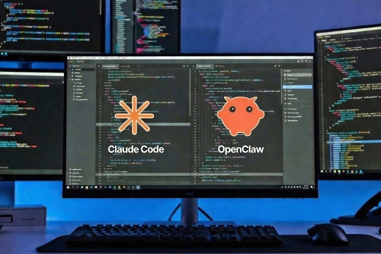
At first glance, OpenClaw and Claude Code look like they belong in the same category. Both use modern AI models. Both automate work. Both promise