
Blog
Top AI Agencies in Las Vegas, Nevada Worth Knowing
AI services are less of a buzz phrase now and more of a practical ask. Faster responses. Less manual busywork. Data that is actually usable,
AI services are less of a buzz phrase now and more of a practical ask. Faster responses. Less manual busywork. Data that is actually usable,

In Salt Lake City, AI conversations have mostly moved past “look what it can do.” The real questions sound different. How to put a model
OpenClaw (formerly Clawdbot and Moltbot) represents a fundamental shift in AI assistants. It’s not just a chatbot—it’s an AI with hands. It can execute code,
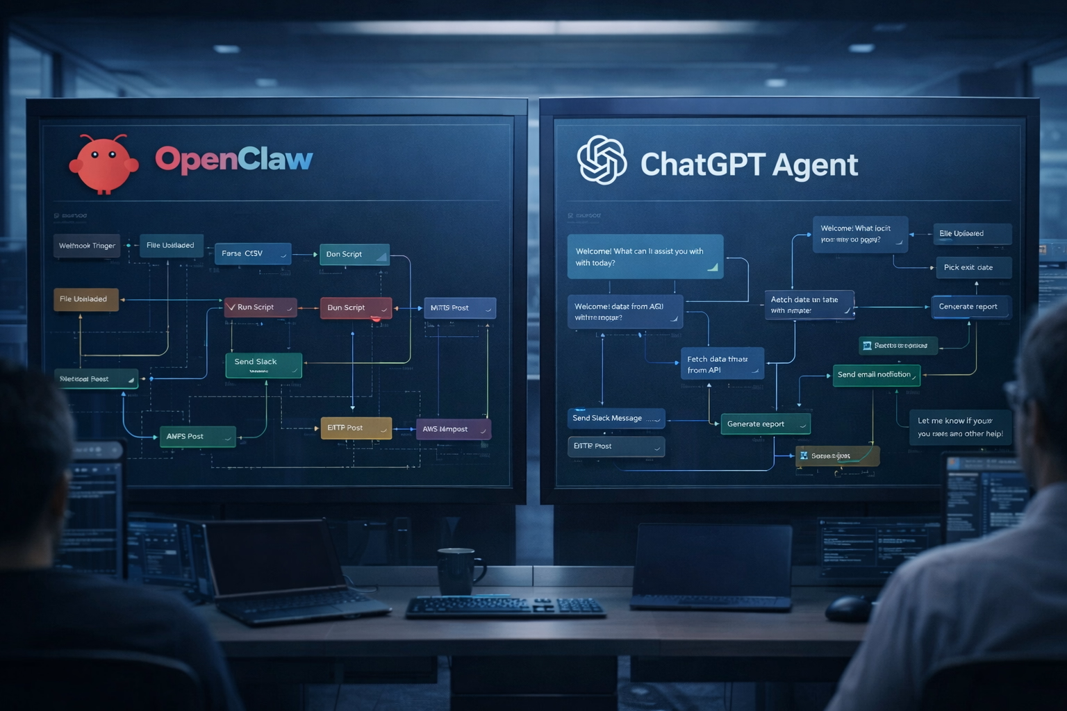
Something changed in late 2025. AI stopped being just a chatbot you asked questions to and became something that actually does things. Two systems dominate
The AI assistant market is confusing right now. OpenClaw (originally called Clawdbot) has received significant attention, ChatGPT remains widely used by consumers, and Claude is
The AI agent war is heating up. On one side, you’ve got OpenClaw—the viral open-source framework that lets Claude control your entire computer. On the