The EU Deforestation Regulation (EUDR) is reshaping how businesses approach supply chain transparency and sustainability. With strict legal obligations and rising consumer expectations, companies must now prove that key commodities are free from links to deforestation and forest degradation.
This article explains what EUDR monitoring entails, why it matters, and how to implement it effectively. Whether you work in procurement, sustainability, or compliance, this guide provides practical insights into tools, data, and strategies that support deforestation-free supply chains.
What Is Monitoring Under the EUDR?
EUDR monitoring is central to proving that a company’s products comply with the regulation. This section clarifies the regulatory expectations and technical obligations involved.
Definition in the Regulatory Context
Under EUDR, “monitoring” refers to the continuous observation, documentation, and assessment of supply chain activities to verify that commodities are not sourced from land affected by deforestation or forest degradation after December 31, 2020. This includes geolocation data, land-use verification, and the ability to trace goods back to their origin.
Monitoring supports due diligence by providing tangible evidence that goods meet the “deforestation-free” criteria. It links directly to the legal requirement for companies to submit due diligence statements (DDS) that confirm compliance.
Legal and Technical Monitoring Obligations
- Monitoring under EUDR includes several mandatory components:
- Collection of geolocation coordinates for all production plots.
- Time-stamped data on harvesting or production periods.
- Risk assessments considering deforestation history, land legality, and indigenous rights.
- Regular data updates to reflect current conditions.
Operators and traders are required to retain monitoring records for at least five years and ensure accessibility for audit purposes. In case of non-compliance, businesses face penalties and removal of market access within the EU. Monitoring is not a one-time action but a continuous obligation throughout the product lifecycle, requiring regular updates and verification to remain compliant.
Key Elements of an EUDR Monitoring System
A robust EUDR monitoring system must combine multiple data sources and analytical tools to prove that supply chains are deforestation-free. This includes not only data collection, but also dynamic analysis, spatial visualization, and ongoing risk evaluation. Below are the four foundational components that such a system must include.
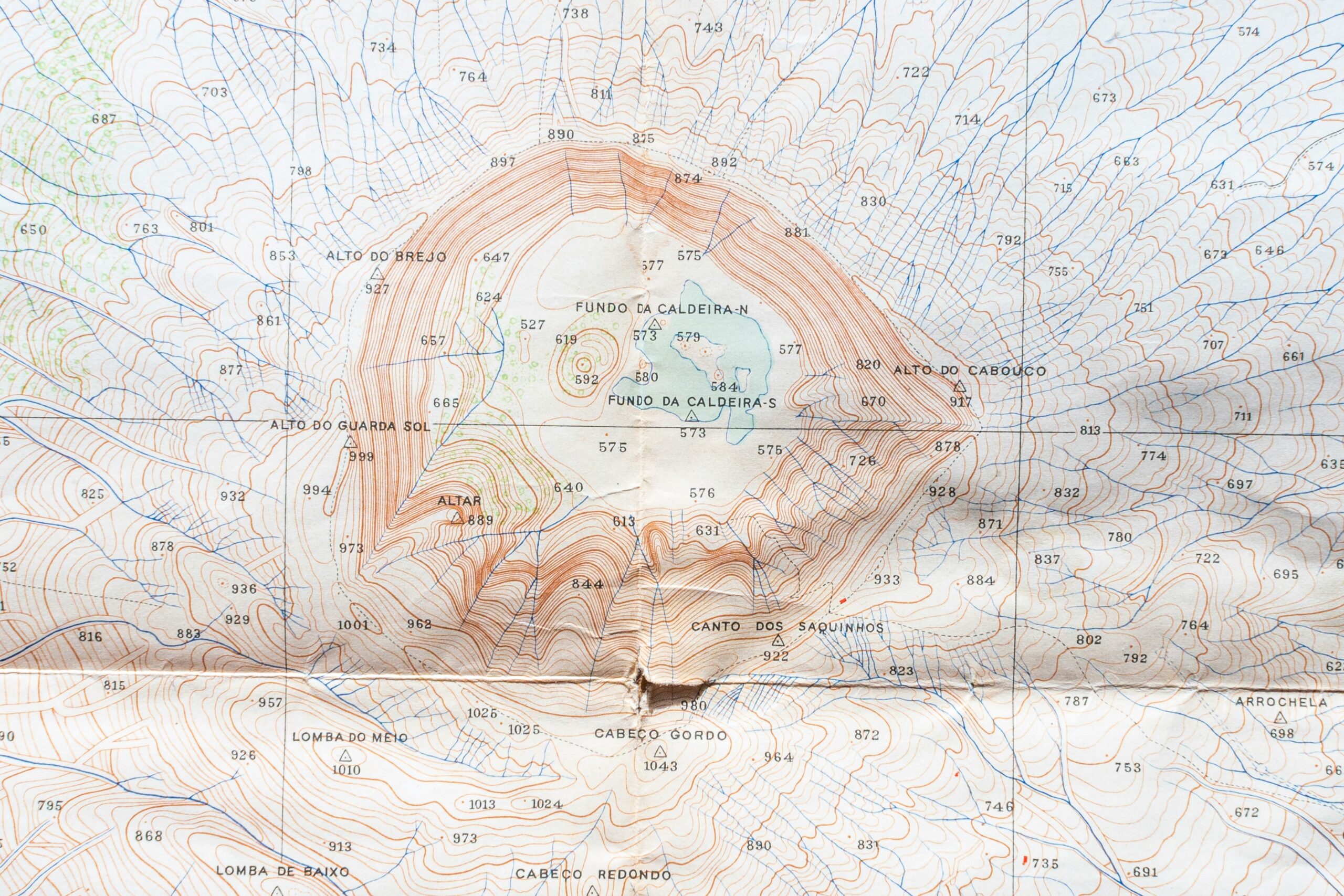
Geolocation Data Collection
Accurate geolocation data is the starting point for any EUDR compliance process. This information links every unit of product to a specific plot of land, allowing verification that it was not sourced from deforested or degraded areas. Regulatory requirements demand precise spatial identification of all origin sites, which is especially challenging in rural and fragmented production areas.
To meet EUDR standards, companies must collect:
- GPS coordinates (latitude and longitude) for each production site.
- Polygon boundaries for large farms, plantations, or cooperative plots.
- Time-stamped data indicating the date of harvest or production.
In practice, this data may come from on-site GPS collection, drone mapping, or mobile applications used by field agents. When suppliers are smallholders or operate in informal systems, companies often need to implement training and standardized digital forms to ensure data consistency. Validation processes such as cross-referencing satellite imagery or legal land records help detect errors or fraud in geolocation inputs.
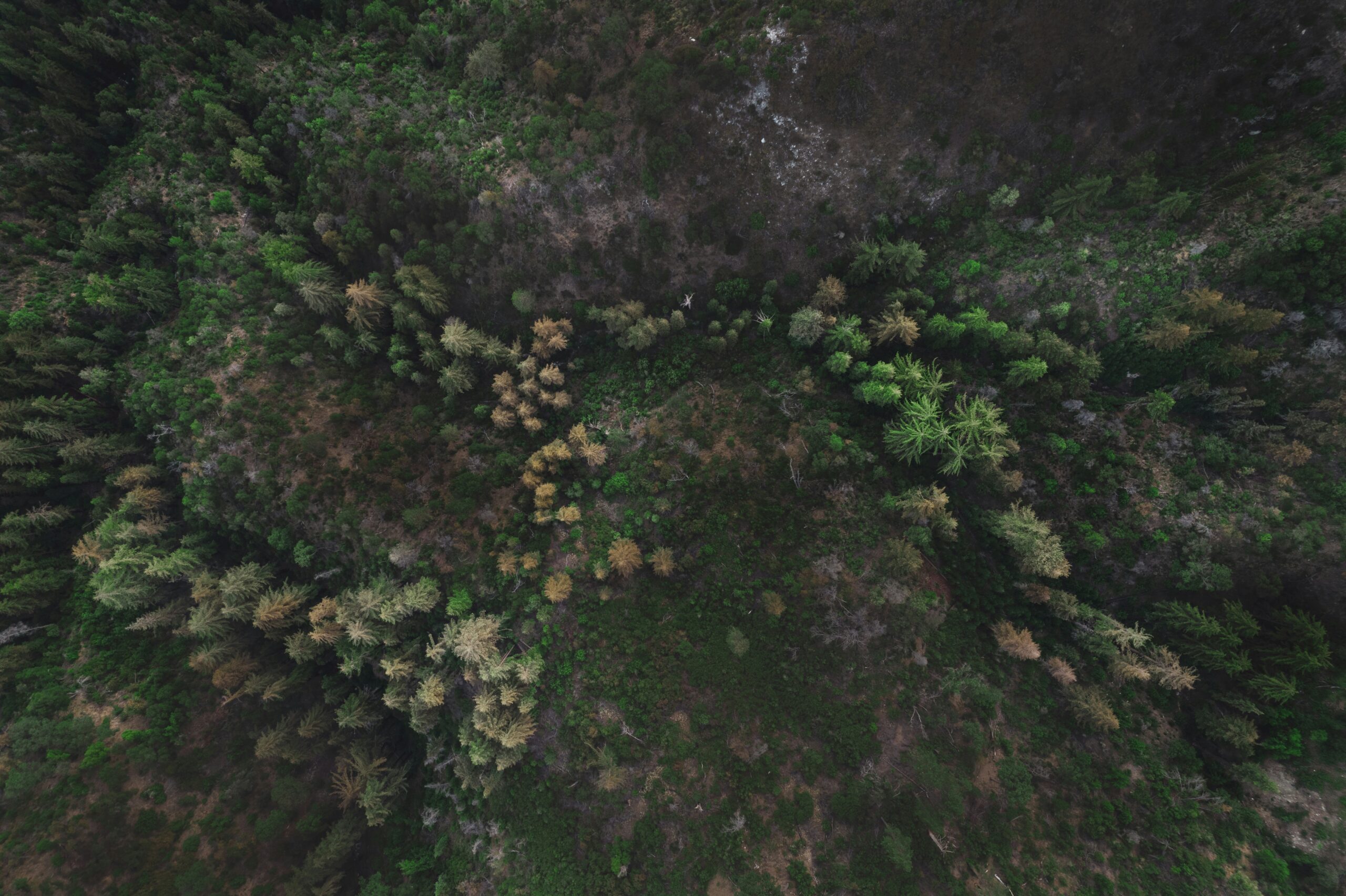
Remote Sensing and Satellite Monitoring
Remote sensing technologies provide a powerful way to observe changes in forest cover across supply regions. High-resolution satellite imagery allows for detection of both large-scale deforestation and subtle signs of degradation, supporting both historical verification and real-time alerts.
Satellite-based monitoring tools can identify:
- Tree cover loss, including clear-cutting or selective logging.
- Degradation indicators such as thinning canopies, fire scars, or erosion.
- Conversion of natural forests into plantations or agricultural land.
To reduce manual monitoring workloads, many systems apply AI and machine learning algorithms to classify land cover, detect anomalies, and generate alerts when high-risk activities are observed. These tools are especially valuable in tropical zones, where rapid forest change is common. However, challenges such as cloud cover or image resolution limitations require companies to complement automated analysis with periodic human review.
GIS Mapping and Risk Layering
Geographic Information Systems (GIS) transform raw data into spatial intelligence. They allow companies to visualize relationships between production sites, ecological zones, and risk factors on interactive maps. This spatial approach enables clearer prioritization of compliance efforts and more strategic resource allocation.
Key GIS features include:
- Interactive supply chain maps linking plots to shipments.
- Risk overlays showing protected areas, past deforestation, or illegal activity zones.
- Regional segmentation to classify supplier locations by risk level.
The true value of GIS lies in its ability to layer diverse datasets into a single decision-making interface. For example, a company can overlay supplier locations with historical deforestation data and proximity to indigenous lands, helping compliance teams assess which suppliers require enhanced scrutiny. GIS maps also support scenario modeling of what happens if new deforestation alerts emerge in a supplier region and provide visual evidence for audits and reports.
Continuous Risk Assessment
EUDR compliance is not static. It requires a dynamic risk assessment process that evolves alongside supply chain conditions and environmental changes. This means companies must go beyond initial screenings and implement mechanisms to identify, track, and act on emerging risks throughout the lifecycle of sourcing relationships.
A strong risk assessment process should include:
- National-level risk indicators such as deforestation rates, corruption indexes, or legal enforcement capacity.
- Supplier-level data on land tenure, labor conditions, and past compliance history.
- Monitoring tools that flag anomalies or missing documentation in near real-time.
Critically, risk assessment must be embedded into operational workflows, not treated as a separate activity. High-risk suppliers should trigger automatic escalation protocols, such as third-party verification or field audits. Risk profiles must also be regularly updated especially when new satellite data becomes available or if regional governance deteriorates. This ensures that due diligence remains accurate, adaptive, and defensible under EU scrutiny.
Monitoring Tools and Technologies
To comply with the EUDR, companies must adopt technologies that enable systematic monitoring, accurate data management, and real-time risk detection across complex supply chains. This section outlines how digital platforms, system integration, and artificial intelligence support these goals in practice.
Overview of Leading Platforms
Digital monitoring platforms play a central role in managing EUDR compliance. These tools allow companies to monitor forest activity, verify land-use history, and collect traceability data at scale. They typically integrate various types of geospatial and supplier data into a single interface, enabling consistent, auditable oversight.
Key platform features commonly include:
- Satellite image analysis to detect land-cover change.
- Forest classification systems to distinguish between primary, planted, and degraded areas.
- Compliance dashboards to organize due diligence data and generate reports.
Using these platforms, companies can track supply origins, cross-check coordinates against risk maps, and flag non-compliant sources early. This centralized visibility is especially valuable when managing hundreds or thousands of suppliers across high-risk regions. Platforms also help reduce the administrative burden of compiling due diligence statements by automating much of the data processing.
Integration with Company Systems
Technology tools are only effective when integrated into existing business operations. For monitoring to support real-time decision-making and compliance, it must be fully connected to procurement, logistics, and data management workflows.
Key integration points include:
- ERP systems that store product, order, and supplier information.
- Traceability platforms that capture batch-level origin data.
- Supply Chain Management (SCM) tools for inventory and sourcing decisions.
When properly integrated, monitoring technologies can trigger automated alerts for example, when a shipment lacks verified geolocation data or a supplier enters a high-risk zone. They also support continuous data syncing, ensuring that due diligence records are always current and complete. This reduces the risk of non-compliance due to outdated or missing information and facilitates smoother audits by EU authorities.
Innovations in AI and Machine Learning
Artificial intelligence is increasingly being used to improve the accuracy and speed of deforestation monitoring. By analyzing large volumes of satellite and land-use data, AI tools can detect patterns that may indicate illegal or high-risk activity well before it becomes visible through traditional methods.
Common AI applications include:
- Image classification algorithms that distinguish forest types based on spectral patterns.
- Predictive models that assess future deforestation risk based on historical land use.
- Automated anomaly detection that flags unexpected land cover changes in real time.
These innovations reduce the dependency on manual interpretation and allow for faster, more scalable monitoring. For example, AI can continuously scan satellite imagery for clearing activity across thousands of hectares and generate alerts within hours, something that would be nearly impossible to do manually. Over time, these systems can also be trained to recognize region-specific deforestation signals, improving their precision and contextual relevance.\
Monitoring Challenges
Even with sophisticated digital tools, EUDR-compliant monitoring faces a number of real-world barriers. These challenges stem from limitations in infrastructure, capacity, and governance particularly in high-risk regions. Understanding these issues is key to building a realistic and resilient monitoring strategy.
Data Availability and Accuracy
Access to high-quality data is a foundational requirement of EUDR monitoring, but it remains inconsistent across different geographies. In many tropical or rural regions, companies may struggle to obtain:
- High-resolution, cloud-free satellite imagery on a regular basis.
- Updated land ownership documentation or formal cadastral maps.
- Accurate geolocation data for smallholder farms or fragmented plots.
These gaps are often due to structural issues such as weak local governance, insufficient digital infrastructure, or ongoing conflict. For example, in parts of Central Africa or Southeast Asia, even recent satellite data may be obscured by persistent cloud cover, making visual verification of land use changes difficult. When reliable geospatial or legal data is missing, companies risk submitting incomplete or unverifiable due diligence statements, an issue that can lead to regulatory delays or penalties.
Costs and Accessibility for SMEs
While large companies may invest in custom monitoring platforms, many small and medium-sized enterprises (SMEs) face financial and technical limitations. EUDR compliance often requires:
- Specialized software and satellite data subscriptions.
- Internal expertise in geospatial analysis, risk modeling, and system integration.
- Continuous investment in updating systems, training staff, and storing records securely.
SMEs that operate in multiple sourcing regions or rely on fragmented supply chains may find these requirements especially burdensome. As a result, they often depend on third-party service providers or consortiums to handle monitoring tasks solutions that may be costly or only partially effective. Without targeted support or scalable tools, many SMEs risk falling behind in EUDR implementation despite good-faith efforts.
Legal and Ethical Considerations
Monitoring land use and sourcing origins is not only a technical task but also a legal and ethical responsibility. The collection of GPS coordinates and land-use data must comply with:
- Data protection laws and community consent principles.
- Indigenous land rights and informal tenure systems.
- Confidentiality standards around farm-level or cooperative operations.
For instance, in regions where land claims are disputed or not formally recognized, publishing geolocation data may inadvertently expose communities to legal risk or land grabs. Companies must balance transparency with a strong commitment to ethical sourcing, ensuring that monitoring activities respect local contexts and do not compromise human rights or sovereignty. Navigating these tensions requires careful stakeholder engagement and, in some cases, custom protocols for sensitive areas.
How to Build a Robust EUDR Monitoring Strategy
Developing a strong EUDR monitoring strategy is not simply a technical exercise – it requires aligning internal processes, selecting the right partners, and formalizing consistent monitoring protocols. This section outlines how companies can approach this in a structured and practical way.
Assess Internal Capabilities
The first step is understanding what your organization can handle internally. Not all companies have the same level of readiness when it comes to geospatial technology or regulatory compliance.
Start by evaluating:
- Whether your team includes personnel with experience in GIS, remote sensing, or forest monitoring technologies.
- What baseline data you already have such as supplier lists, farm locations, or historical deforestation risk maps.
- Whether compliance or sustainability staff are available to manage ongoing monitoring obligations and respond to alerts.
This assessment helps determine whether the company should build in-house capacity, rely on external platforms, or form hybrid solutions. For example, a company with an internal GIS team may only need third-party verification services, while others may need a full-service partner.
Select Monitoring Partners or Platforms
If internal capacity is limited, choosing the right monitoring platform or consultancy becomes essential. The goal is to ensure the selected tool or partner is compatible with EUDR technical requirements and fits operational realities.
Key selection criteria include:
- Support for required data formats, including polygon coordinates and time-stamped harvest data.
- Integration capabilities with your existing systems, such as procurement platforms or supplier databases.
- Familiarity with your commodity and region for example, experience with smallholder cocoa farms in West Africa or timber supply chains in Southeast Asia.
It’s also important to define roles clearly: will the partner only provide data, or help manage risk analysis and documentation? Setting expectations upfront through service level agreements (SLAs) helps ensure the relationship remains effective and compliant.
Establish Monitoring Protocols
Even the best technology or service provider will not help without clear internal procedures. Monitoring must be embedded into your operational workflows with defined rules and timelines.
Establish protocols for:
- How frequently geolocation and land-use data will be updated (e.g., quarterly or per shipment).
- What risk thresholds trigger investigation for example, proximity to deforestation frontiers or unresolved land tenure conflicts.
- How monitoring results are documented, retained, and used for internal decision-making or external audits.
These protocols should be written into standard operating procedures (SOPs), ensuring consistency across teams and regions. SOPs also help train new staff, standardize reporting formats, and prepare for EU authority reviews.
Taken together, these three elements internal capability mapping, strategic partnership, and operational protocols form the backbone of a monitoring system that is not only EUDR-compliant but also sustainable and scalable as regulations evolve.
![]()
Supporting Practical Monitoring and Compliance
As companies face the complex task of meeting EUDR monitoring obligations, platforms like EUDR.co offer targeted support to simplify and accelerate the path to compliance. The site delivers a clear, strategic overview of EUDR requirements, along with actionable guidance on how to structure monitoring systems, collect geolocation data, and conduct effective risk assessments across global supply chains.
EUDR.co stands out as a valuable resource for navigating the evolving regulatory landscape. Its focus on traceability, legality, and field data verification aligns closely with the monitoring pillars defined in the regulation. With key deadlines approaching, using dedicated tools like this helps streamline documentation processes, enhance data accuracy, and reduce uncertainty — all critical for businesses building robust, audit-ready monitoring systems.
Conclusion
Monitoring is a cornerstone of EUDR compliance. It turns due diligence into a living, data-driven process that enables companies to trace origins, validate sourcing practices, and detect deforestation risks with precision. Rather than relying on static documentation, businesses can actively demonstrate that their supply chains meet environmental and legal standards.
By adopting modern monitoring tools and embedding them into operational workflows, companies not only protect themselves from regulatory penalties but also strengthen long-term resilience. Early adopters will be better positioned to handle audits, earn stakeholder trust, and lead in a global market that increasingly values transparency, legality, and sustainability. As EUDR enforcement nears, monitoring is not just a compliance requirement it is a strategic advantage.
FAQ
1. What is EUDR monitoring?
EUDR monitoring refers to the ongoing process of collecting, verifying, and analyzing data to demonstrate that products placed on the EU market are not linked to deforestation or forest degradation. This involves geolocation tracking, production date verification, and continuous assessment of supply chain practices.
2. What types of data are required for EUDR compliance?
To comply with EUDR, companies must gather detailed information that links each commodity to its place of origin. This includes precise location data (such as GPS coordinates and plot boundaries), the dates when production or harvesting occurred, and documented proof of legal land use. All data must be accurate, consistent, and retained for five years to support regulatory audits.
3. How often should monitoring data be updated?
Monitoring under EUDR is not a one-time effort. Companies are expected to update their data regularly, ideally with every new shipment or significant change in sourcing conditions. Keeping information current ensures that due diligence statements remain valid and reflect the latest risks and land-use dynamics.
4. Are small businesses also required to comply with EUDR?
Yes, small and micro-enterprises are subject to the regulation if they are involved in placing or trading relevant commodities in the EU. However, the legislation allows for delayed deadlines and simplified procedures depending on company size and role in the supply chain. Small businesses can access EU-supported resources, such as templates, help desks, and training programs designed to ease the compliance process.
5. Can satellite imagery alone ensure compliance?
Satellite imagery is a powerful tool for identifying deforestation, but it is not sufficient on its own. Compliance requires a combination of visual evidence, legal documentation, supplier verification, and due diligence records. EUDR places emphasis on the integrity and traceability of the entire supply chain, which cannot be guaranteed by imagery alone.
6. What happens if a company fails to comply with EUDR?
Non-compliance with EUDR can lead to serious consequences, including financial penalties, the rejection of shipments, and removal of products from the EU market. In more severe cases, companies may face investigations, restrictions on future trade, or reputational damage that impacts customer trust and business partnerships.
7. How can technology support EUDR monitoring?
Digital platforms and monitoring tools help automate many aspects of compliance. These include tracking land use through satellite data, managing supplier records, generating due diligence reports, and issuing alerts when risks are detected. When properly integrated into company systems, technology can significantly reduce administrative burdens and improve the reliability of monitoring across global supply chains.
8. How can companies prepare for EUDR audits?
To prepare for potential audits by EU authorities, companies should ensure that all due diligence documentation is complete, accurate, and easily accessible. This includes having standardized records of geolocation data, supply chain traceability, risk assessments, and decision-making logs. Establishing internal audit procedures and conducting mock reviews can also help identify gaps before official inspections occur.
9. Which EU bodies are responsible for enforcement and oversight of EUDR?
EUDR enforcement is primarily carried out by competent authorities designated by each EU Member State. These national bodies are responsible for reviewing due diligence statements, conducting audits, and applying penalties for non-compliance. The European Commission provides coordination, guidance, and oversight to ensure consistent implementation across the EU.