The challenge
Cities find it hard to inspect and maintain their road infrastructure efficiently, particularly when it comes to detecting and evaluating damage such as potholes.
Manual inspections are time-consuming and subjective, and they often delay the identification and repair of road defects. The client needed an automated, precise way to identify and assess potholes and road damage and to streamline maintenance and inspection.
Our solution
We built a platform based on deep learning segmentation models. It accepts video footage or individual frames, segments each pothole and extracts key features such as size and area, which are used to estimate its severity level.
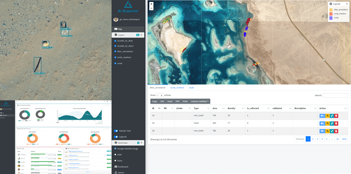
The results are mapped in a scalable GIS application, so users can see road damage and quickly find the areas that need attention. The model can also be integrated into a real-time video processing pipeline for continuous monitoring and instant detection.
- Pothole segmentation from video footage or individual frames
- Feature extraction (size, area) and severity estimation for each pothole
- Scalable GIS application to visualise road damage
- Rule-based notifications, for example when a critical pothole needs immediate action
- Filtering by severity level to prioritise repairs
- Optional integration into a real-time video processing pipeline
The outcome
Automating the detection, evaluation and mapping of potholes saves time and resources. Road maintenance teams can identify and prioritise repairs by severity, allocate resources better and improve road conditions.
With the model running in a real-time video pipeline, cities can monitor roads continuously and detect damage as it appears, which reduces hazards, supports proactive maintenance and improves road safety.