The challenge
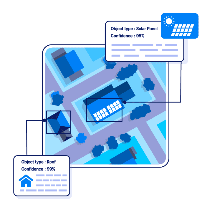
A solar energy company wanted to streamline how it analysed residential roofs for solar panel installations. Its manual methods were time-consuming, so it needed an automated, precise and reliable alternative.
The system had to identify roof boundaries automatically and segment each roof into distinct areas with accurate measurements for every roof plane, which is essential for deciding where solar panels should go.
Our solution
We built the solution on deep learning models trained on satellite images provided by Eagleview, in which residential roofs were precisely annotated. This gave high precision in the detection and segmentation of roof planes.
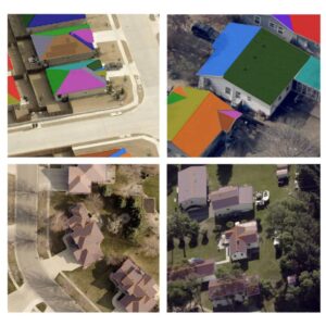
Given a satellite image, the solution returns the outline of the roof and a breakdown of its distinct planes, and estimates the area and dimensions of each segment. It works across the many types of residential roofs and architectural styles found in different locations.
- Precise annotation of residential roofs in Eagleview satellite images for model training
- Pixel boundaries of the whole roof in each image
- List of distinct roof planes with their pixel boundaries
- Area and dimension estimates for each roof segment
The outcome
Automating the detection, segmentation and measurement of roofs saves the company significant time and resources. It can now plan solar panel installations on residential roofs efficiently, maximising energy generation and keeping installation costs down.